Local history
At the time of the 1086 Domesday Survey, Bratton was a settlement in the hundred of Wrockwardine and in the county of Shropshire. It had a recorded population of five households in 1086. In 1066, the manor of Bratton was held by Erngeat of Bratton and after the Norman Conquest it passed to Warin of Eyton, overseen by William Pandolf. Bratton was recorded as Brochetone in 1086, meaning ‘farmstead by newly cultivated land’.
It is possible that a Medieval manor house might have preceded Bratton Farmhouse. The historic maps show that the site remained outside any settlement cores in the post-medieval period; it comprised agricultural land and was located in a wider rural landscape characterised by dispersed farmsteads and enclosed agricultural fields. The emerging outline masterplan for Bratton Green gives regard to historic field patterns in the shaping of development parcels, landscape planting, green corridors and public open spaces.
Bratton Farmhouse
Bratton Farmhouse is located at the centre of the site, beyond the site boundary; it dates to the early 19th century and is a designated heritage asset (Grade II). Historic mapping shows that the farmhouse has formed part of an enclosed parcel of land from at least the late 19th century, surrounded by dense vegetation to the east, south and west which is recorded on the 1882 Ordnance Survey mapping and which has remained in place to the present day. The emerging outline masterplan for Bratton Green includes the provision of appropriate landscape buffers to respect this important heritage asset.
RAF Bratton
RAF Bratton, a former World War II airfield, which was used as a relief landing ground by the Fleet Air Arm, was partly located within the site and extended beyond it to the north. The airfield opened in 1940 and closed in 1945. It had grass landing surfaces, five blister hangars and temporary accommodation for personnel. Geophysical survey has been carried out and this did not record any features associated with the airfield within the site. We would be very interested to hear of any local memories or anecdotes relating to RAF Bratton in consultation feedback, as this could help feed into a public art strategy and potential street naming for Bratton Green.
A Heritage Statement and Archaeological Assessment will accompany the outline planning application.

1838 map - click to enlarge
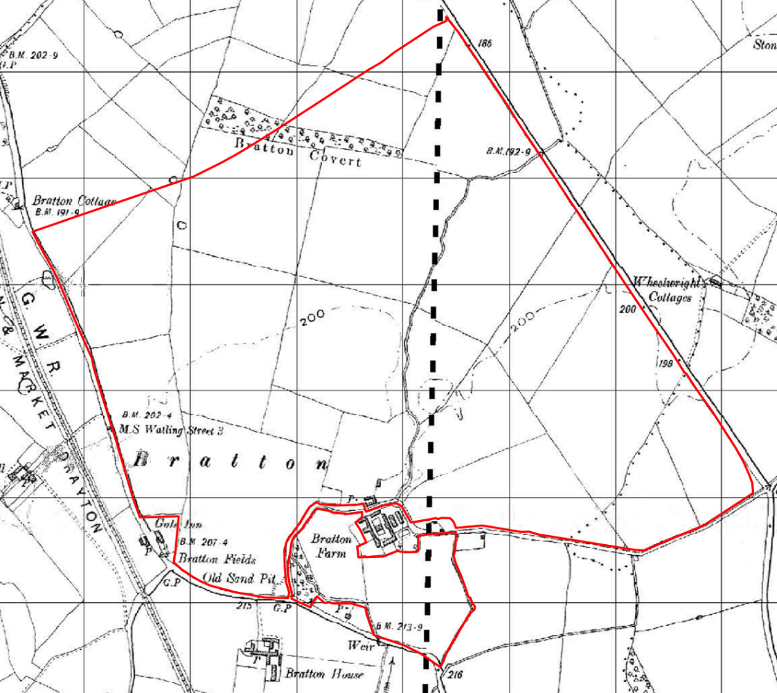
1902 map - click to enlarge
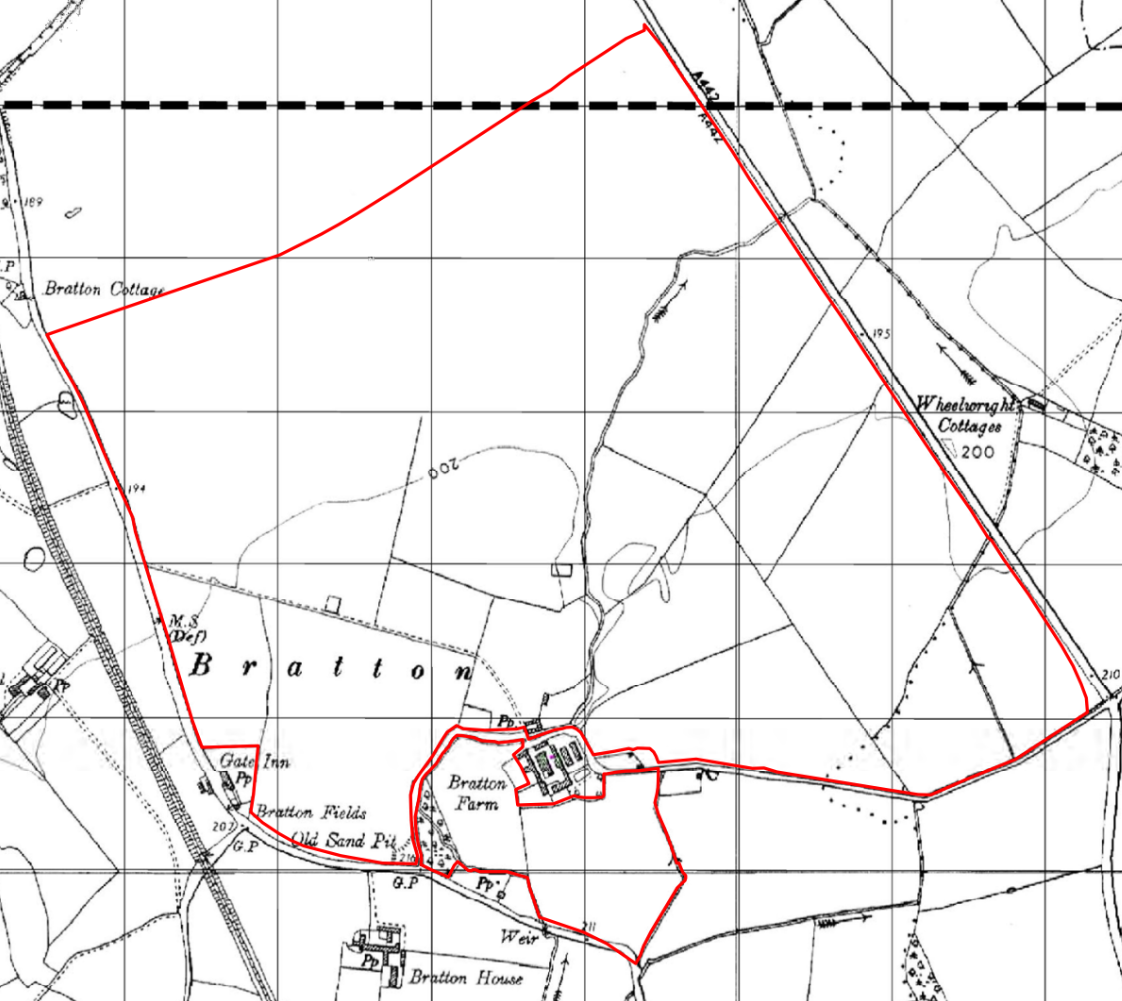
1954 map - click to enlarge
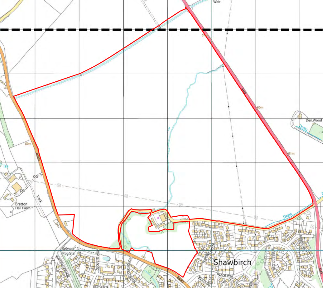
2023 map - click to enlarge